
Interpreting Landscape: Tim Robinson and The West of Ireland
Item Set
Items
-
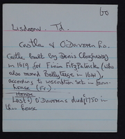 Image from a placename card for the Burren, taken from Tim Robinson's archive
-
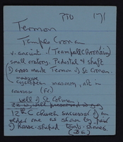 Image from a placename card for the Burren, taken from Tim Robinson's archive
-
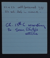 Image from a placename card for the Burren, taken from Tim Robinson's archive
-
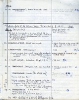 Page from hardbound notebook entitled 'Burren Map: notes for Edition 1' by Tim Robinson, with notes on pre-historic forts in north Clare, [1976-1977]
-
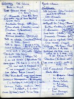 Page from hardbound notebook entitled 'Burren Map: notes for Edition 1' by Tim Robinson, with placenames list for Kilcorney and Kilfenora, [1976-1977]
-
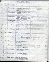 Page from hardbound notebook entitled 'Burren Map: notes for Edition 1' by Tim Robinson, containing a list of megalithic tombs, [1976-1977]
-
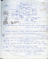 Page from hardbound notebook entitled 'Burren Map: Notes from Edition 1' by Tim Robinson, containing sheet numbers and bibliographic references, [1976-1977]
-
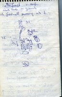 Errislannan notebook, rough sketch of Letterfrack, July 1986
-
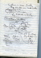 'Inisleanan Q4, rough plan of a County Council Cottage at Trá Bheag
-
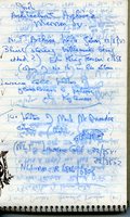 Moyrus Book 2, with Omey and Ross, notes from visit to the Irish Architectural Archive
-
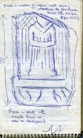 Errislannan notebook, sketch of stone carving found in Errislannan Manor, July 1986
-
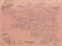 Connemara Map, 1990
-
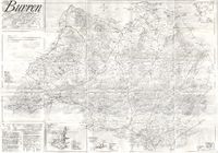 'The Burren, County Clare, Éire', by Tim Robinson
-
 Unfolding the Landscape with Tim Robinson
-
 Tim Robinson. © Nicolas Fève